Carlisle Crossing (73099), Oklahoma City
Carlisle Crossing (73099) covers 113.0 square miles of Oklahoma City, and about 75,434 people live here. This page maps 35 parks and public places and 5 businesses inside its lines, most of them Auto.

Living In Carlisle Crossing (73099)
Carlisle Crossing (73099) has about 75,434 people on 113.0 square miles, 667 per square mile, more spread out than Oklahoma City as a whole (1,155).
The median household earns $96,266 a year, 40% above the city median, #12 of 46 neighborhoods.
75% of homes are owned by the people living in them, and the median rent is $1,513 a month.
It is still growing: 44% of homes were built in 2010 or later.
96% of homes have broadband internet.
Inside its lines: 15 places of worship, 9 parks, 5 schools, 2 trails and bike paths and 1 places to eat.
People
Money And Work
Housing
Getting Around
Connected
US Census Bureau American Community Survey 2020 to 2024, added up from the census tracts in Carlisle Crossing (73099). Ranks count neighborhoods with 500 or more people.
Parks, Schools And Public Places In Carlisle Crossing (73099)
Places Of Worship 15
 Oklahoma City Oklahoma Temple
- Canadian Hills Church of the Nazarene
- Canadian Valley Chapel
- Community Church
- Covenant Community Church
- Fathers House Church
- Grace Church600 North Mustang Road, Yukon, OK 73099
- Harvest Hills Church
- Indian Pentecostal Church-God
- Surrey Hills Baptist Church
- The Church of Jesus Christ of Latter-day Saints12020 North Mustang Road, Yukon, OK 73099
- United Methodist Church
3 more on the map below
Parks 9
- Brighton Place HOA Park
- Castlewood Trails HOA Park
- Overholser Park
- Route 66 Park
- Stinchcomb Wildlife Refuge
- Stinchcomb Wildlife Refuge
- Woodrun Park4 North Willowood Drive, Oklahoma City, OK 73099
- Woodrun Park
- Woodrun Park
Schools 5
- Mustang Creek Elementary School10821 Southwest 15th Street, Yukon, OK 73099
- Mustang North Middle School10901 Southwest 15th Street, Yukon, OK 73099
- Mustang Trails Elementary School
- Redstone Intermediate School
- Surrey Hills School
Trails And Bike Paths 2
- Cart Bridge
- Lake Overholser (East) Trail
Clinics 1
- Mercy Clinic - Yukon520 South Mustang Road, Yukon, 73099
Colleges 1
Landmarks And Historic Sites 1
- Overholser Drive
Police Stations 1
- Oklahoma Highway Patrol Troop YE
Places To Go In Carlisle Crossing (73099)
The most reviewed spots inside these lines, with photos where they have one.
Businesses In Carlisle Crossing (73099)
Is yours missing or wrong? List or fix it free.
Auto 2
 Pilot Travel CenterTruck stop
 Shine Factory Car Wash - MorganCar wash
Shopping 1
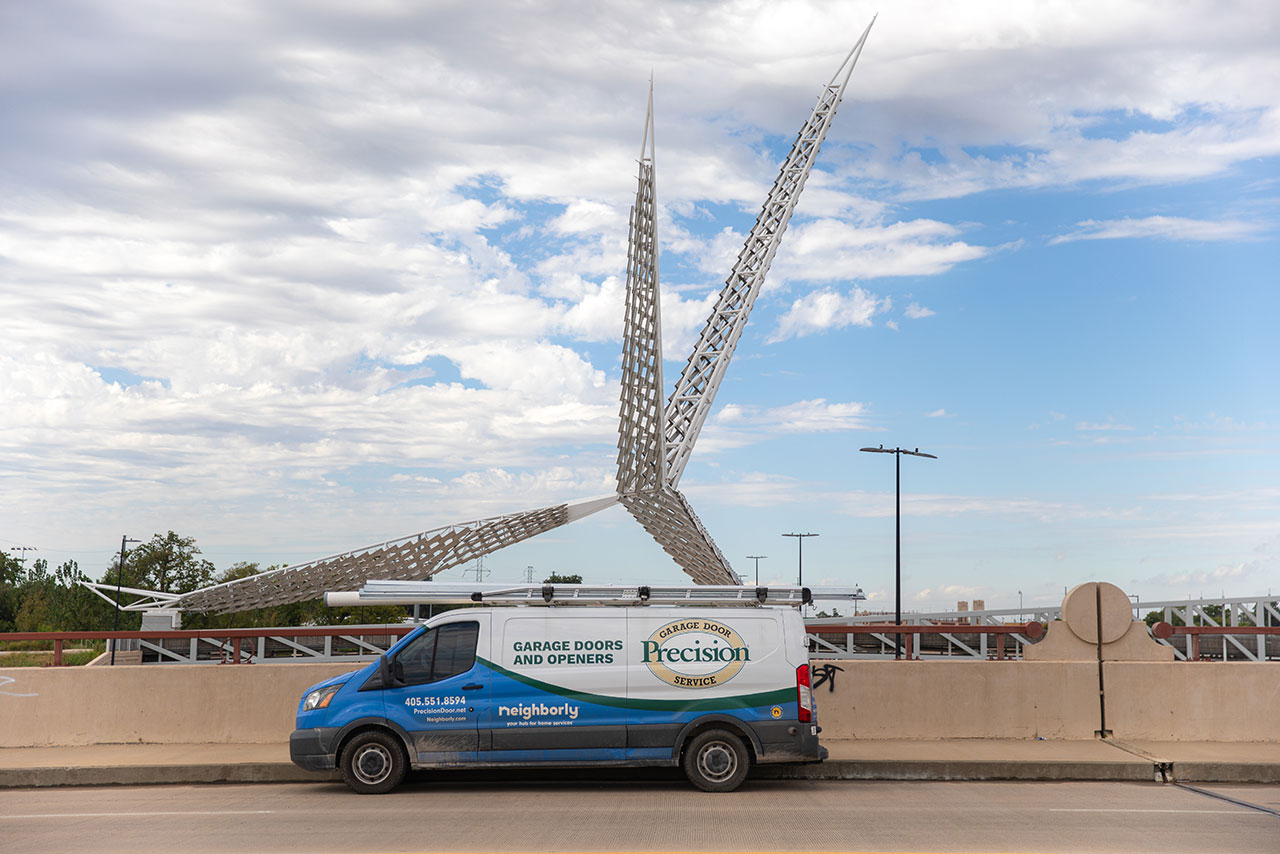 Precision Garage Door of OKCGarage door supplier
Food and Drink 1
- McDonald'sFast food restaurant
Groceries and Markets 1
 TA Travel CenterRest stop
Own A Business In Oklahoma City
List it free on your neighborhood page in about two minutes. Townstoop is built by Clickflame, building local business sites since 2004.
Carlisle Crossing (73099) Questions
How many people live in Carlisle Crossing (73099)
About 75,434, from the Census American Community Survey tracts inside the Carlisle Crossing (73099) lines.
What parks are in Carlisle Crossing (73099)
9 mapped, including Brighton Place HOA Park, Castlewood Trails HOA Park, Overholser Park, Route 66 Park.
How many schools are in Carlisle Crossing (73099)
5 schools are mapped inside the neighborhood.
What is the rent like in Carlisle Crossing (73099)
The Census median gross rent is $1,513 a month, against $1,130 for all of Oklahoma City.
Do people rent or own in Carlisle Crossing (73099)
25% of homes are rented and 75% are owned, against 41% rented across Oklahoma City.
How do people get to work from Carlisle Crossing (73099)
The average commute is 26 minutes. 79% drive alone, 0% take transit, 0% walk and 11% work from home.
How old are the homes in Carlisle Crossing (73099)
4% were built before 1960 and 44% in 2010 or later. 85% are single family homes.
Is Carlisle Crossing (73099) a family neighborhood
40% of households have children and 27% of residents are under 18. 13% are 65 or older.
Sources, Census figures from the US Census Bureau American Community Survey five year estimates, parks, schools and public places from OpenStreetMap contributors (ODbL). How we build these pages.